
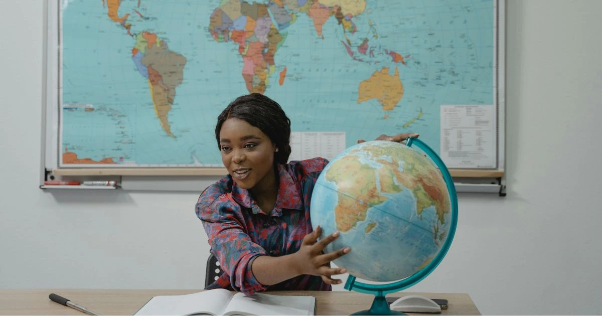
Interactive World-Maps: Use 2026 GPS tech to bring your fantasy world to life
I remember sitting in a small coffee shop in Seattle, watching the rain blur the windows while I stared at a coffee-stained napkin where I’d tried to sketch the mountain ranges of a kingdom that didn’t exist. Back then, world-building was a lonely, static endeavor. You drew a map, you tucked it into the front of your manuscript, and you hoped the reader had enough spatial awareness to follow your protagonist across three hundred miles of tundra without getting bored or lost. But the way we consume stories is shifting. People don’t just want to read about a place anymore; they want to feel like they are standing in it, or at least like they could find their way to the nearest tavern if they had a signal.
The rise of interactive book maps has changed the stakes for those of us in the self-publishing world. We are no longer limited to flat, grayscale images that lose all their detail on an e-reader screen. With the way GPS technology has evolved into 2026, the barrier between the digital world and the physical one has become remarkably thin. We are seeing a move toward maps that aren’t just illustrations but living documents. If you’ve ever felt the frustration of trying to explain the complex geopolitics of your fictional continent, you know that a static image rarely does the heavy lifting. Readers want to zoom in. They want to click a coastal village and see the trade routes or hear the sound of the local dialect. It is about creating a sense of presence that a standard paperback just can’t provide.
Building deeper immersion with modern world-building tools
When we talk about world-building tools today, we aren’t just talking about hex grids or name generators. We are talking about engines that can simulate the terrain of a world based on the same spatial logic we use for real-world navigation. I find it fascinating how much we can lean on existing architectural and cartographic software to build something entirely fantastical. There is a specific kind of magic in taking a raw idea and layering it over a digital framework that responds to a reader’s touch.
I’ve seen authors spend months on a wiki that nobody reads, yet those same authors hesitate to invest in an interface that lets a reader explore. It’s a strange disconnect. We know that the reader experience is the only thing that actually keeps a book alive in a crowded market. If a reader can open their phone and see the actual elevation of the mountain range your hero is climbing, the stakes of the scene change. It becomes visceral. You aren’t just telling them the air is thin; they can see the altitude data on the screen. It creates a bridge of credibility.
There’s a certain weight to a story when the geography feels unmovable. In the old days, you could fudge the distance between two cities if you realized your pacing was off, but with the precision of current mapping tech, you have to be more honest. Some might say that takes the romance out of writing, but I think it adds a layer of discipline that pays off. When the map is interactive, it becomes a character. It has its own history, its own layers of metadata that can be toggled on or off. You can show the path of a plague or the shifting borders of an empire over a thousand years, all within the same digital space.
Crafting a seamless reader experience through spatial data
The real challenge for anyone in self-publishing is making sure these bells and whistles don’t overshadow the prose. Technology should be a silent partner. I’ve encountered interactive book maps that were so cluttered with icons and pop-ups that I forgot I was supposed to be reading a novel. The goal is to enhance the atmosphere, not turn your book into a video game. It’s a delicate balance of aesthetics and utility.
I often think about how we navigate our own world. We don’t look at a map to see every single tree; we look at it to understand where we are in relation to where we want to be. Your fictional map should function the same way. It should provide context. If your protagonist is an exile, the map should feel vast and unforgiving. If the story is a locked-room mystery set in a sprawling manor, the map should feel claustrophobic and detailed. 2026 GPS tech allows for a level of “geo-fencing” within a story where certain parts of the map only unlock as the reader progresses through the chapters. It’s a way to gate information and reward the reader for their journey.
This kind of integration makes the world feel like it exists even when the book is closed. It suggests a life beyond the page. There is something profoundly human about the desire to map things out. We’ve been doing it since we carved lines in cave walls. Now, we’re just using silicon and satellite logic to do the same thing for worlds that only exist in our heads. It’s a weirdly beautiful intersection of the ancient and the futuristic.
I wonder sometimes if we are reaching a point where the “book” is no longer the primary vessel for the story, but rather a hub for a larger sensory experience. Some purists hate this. They think the words should be enough. And in a perfect world, maybe they are. But we don’t live in a world of undivided attention. We live in a world where people are hungry for depth. If you can give them a piece of your world that they can hold in their digital hand and rotate, you’ve captured a part of their imagination that a simple description of “rolling hills” never will.
It isn’t just about the tech, though. You can have the most advanced, high-resolution interactive map in the world, and if the story has no heart, the map is just a pretty distraction. The tech is a tool for empathy. It’s a way to help the reader feel the distance of the journey. When they see the blue dot of their own virtual presence moving along the trail with the characters, that’s when the immersion is complete.
We are still in the early stages of figuring out how to best use these world-building tools without breaking the spell of the narrative. Every author I talk to has a different theory. Some want full 3D renders, while others prefer a more stylized, hand-drawn look that simply has “hotspots” for information. There is no right answer yet, which is the most exciting part of being a creator right now. We’re all just experimenting in public.
The cost of these tools has plummeted, too. What used to require a team of developers can now be handled by a single author with a clear vision and a bit of patience. This democratization is what will truly fuel the next wave of self-publishing. We are moving away from the gatekeepers who decided which books deserved a high production budget. Now, the budget is your own creativity and your willingness to learn a new interface.
As I look at the landscape of digital publishing today, I see a lot of noise. But through that noise, the projects that stand out are the ones that respect the reader’s time and intelligence. They provide a world that feels lived-in. They use interactive book maps not as a gimmick, but as a testament to the scale of their vision. It makes me think back to that coffee-stained napkin in Seattle. If I had known then that I could eventually turn that sketch into a navigable, data-rich environment for someone on the other side of the world to explore, I probably wouldn’t have been so frustrated by the rain.
There is a strange comfort in knowing that our imaginary worlds can be just as “real” as the ones we navigate every day via satellite. It’s all just data and dreams, layered one over the other until you can’t tell where the map ends and the story begins. Whether we are ready for it or not, the way we tell stories is becoming a spatial experience. The only question left is how much of your world you’re willing to let the reader see.
FAQ
An interactive book map is a digital version of a fictional geography that allows readers to engage with the world through clicking, zooming, or unlocking new areas as they read. Unlike a static image, it often contains layers of information, such as character paths, historical data, or cultural notes, that enhance the immersion of the story.
No, current world-building tools have become much more accessible for creators. Many platforms offer drag-and-drop interfaces that utilize spatial data and GPS-style logic without requiring deep technical knowledge. The focus is more on the author’s vision and geographical consistency than on writing code.
While the world is fictional, the “GPS tech” refers to the underlying spatial software that manages coordinates, distances, and terrain. This allows the map to behave like a real-world navigation app, providing accurate travel times between points and allowing for “location-based” content that triggers as the reader moves through the book.
It depends on the execution. The best interactive book maps are designed to be a companion to the prose, not a replacement. When used subtly, they provide context for the reader’s imagination rather than cluttering the screen with unnecessary animations or pop-ups.
Not necessarily. While world-building is a hallmark of speculative fiction, interactive maps can be used for historical fiction, travelogues, or even complex mysteries set in specific real-world locations or large estates. Any story where the “where” is as important as the “who” can benefit from a more dynamic spatial representation.